


Property Mapping & Inspections
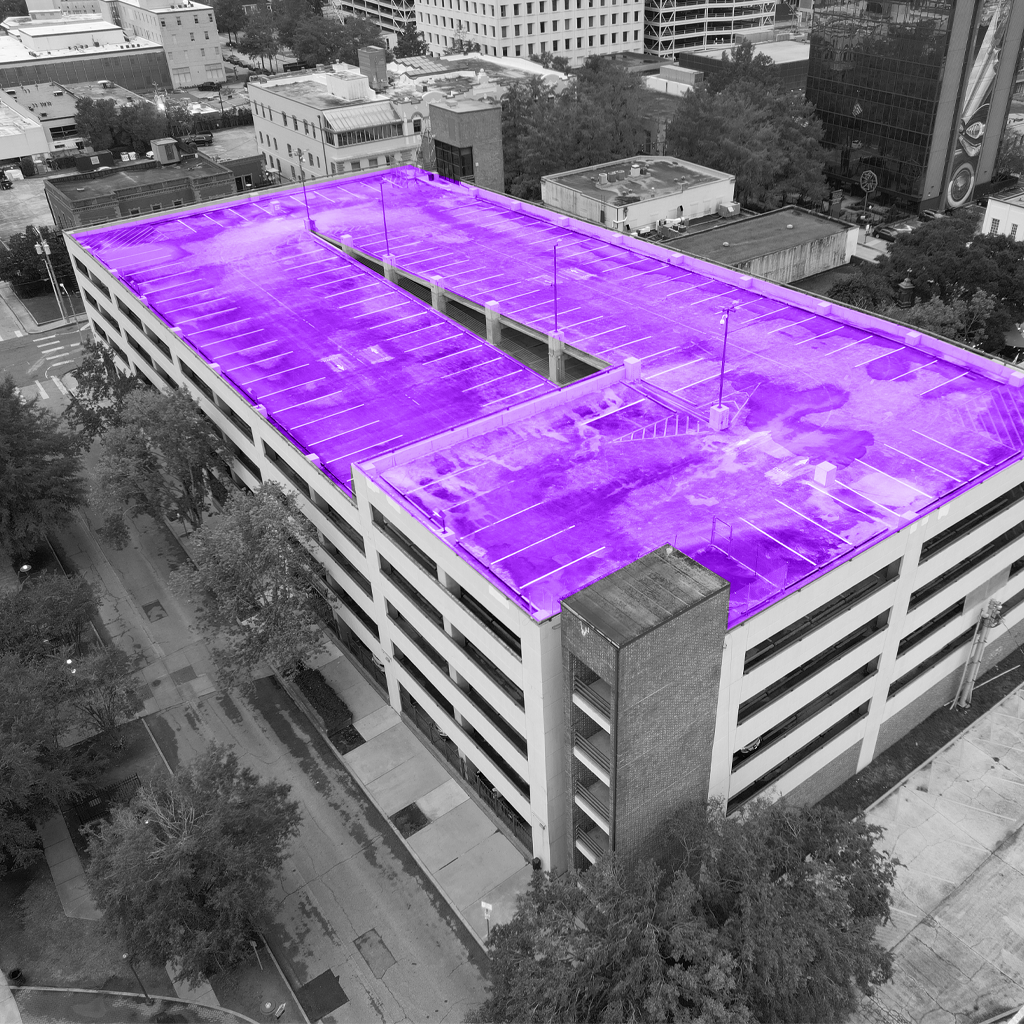
Using LiDAR or photogrammetry, Drones can provide detailed datasets that can be used as the foundation for mapping routes more effectively. Drones can also assist with comprehensive asset and property maintenance by capturing scheduled footage for grounds inspections, equipment assessments, and maintenance prioritization. This technology enables businesses to regularly monitor their properties, helping to identify potential issues early. As a result, organizations can prioritize repairs, improve operational efficiency, and extend the lifespan of assets.