Unlock the true potential of your land with our precise assessments, informing the suitability for development with unparalleled clarity. From identifying optimal cultivation areas to assessing terrain conditions, our drones provide invaluable insights to optimize productivity and efficiency.
3D maps and chemical composition soil analysis models provide insight into overall crop-health, threat mitigation, and potential loss.
Drone data can unify irrigation, fertilization, yield, and quality control details to better inform decisions about scalability on available land.

Thermal imaging helps ensure the health of animals by monitoring behavior trends, illness, injury, or distress within usable acreage.
High-resolution images mitigate the risk of inaccurate data for regulation, compliance, and other land requirements.

Minimize data inaccuracies and alleviate liability concerns.

Inform the suitability of land for development.

Create demand for potential investors, residents, or producers.
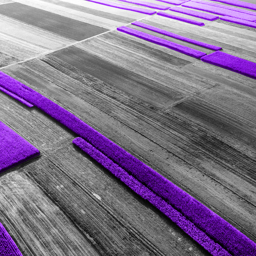
Aerial drone photography services help farmers stay agile in their land management responsibilities. Drone video and photos are extremely effective for scouting land and crop features quickly, leading to smarter resource decisions that cut costs and increase production.
Plant stress level = 10% of field for a total of 2.31 acres. This stress can be caused by multiple factors such as lack of water or unbalanced nitrate levels. Custom reporting makes it easy to translate the information captured by drones and take action based on the results.
Private owners and public organizations in charge of large swaths of wild forest or rural land can leverage aerial drone photography to formulate land management plans and monitor the ongoing health of their acreage.
The data captured by aerial footage helps maximize the land’s resources and the producer’s efficiency, ensuring a more robust herd, new cost-savings, and smarter business decisions based on reliable data.
Sign up here to receive the latest updates from the Lowers Drone Solutions blog.

Get our latest posts delivered to your inbox: