As a trusted partner for insurance professionals and business owners worldwide, we understand the critical need for accurate, efficient, and cost-effective solutions in today’s fast-paced industries. With our advanced drone technology and seasoned team of experts, we offer a comprehensive suite of services designed to streamline operations and enhance decision-making processes. From property inspections to environmental surveys, our solutions empower you to gather actionable data with precision and speed, minimizing risks and maximizing efficiency.

The team developed DataPoints specifically to provide single login access to multiple datasets, including 2D orthomosaics, 3D point clouds, still images, video, and site plans. This platform allows for granular, multi-user access to data from anywhere in the world. Once users upload data to the DataPoints portal, an engineer in Los Angeles can immediately begin interpreting the information, while at the same time, an adjuster on the other side of the globe can do the same. Moreover, the 2D and 3D standard datasets captured during each site survey provide stakeholders with unmatched situational awareness—without ever needing to visit the site.

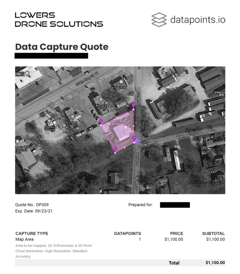
Lowers Drone Solutions can capture site data within five days of a confirmed quote. The system processes the data into 2D orthomosaics and 3D point clouds, typically uploading the results within 48 hours. Once uploaded, the data becomes immediately shareable and accessible to stakeholders worldwide. This fast turnaround improves collaboration and helps decision-makers act quickly.
Users can add all forms of data – Images, Video, Orthomosaic, Computer-aided design (CAD), PDF etc. to the DataPoints cloud portal. Having multiple datasets together in one application brings efficiencies and cost-savings to client workflows and simplifies data interpretation and review.
Coordinate a single team to go to the site within hours of an event or loss, giving valuable information in a time-critical scenario. Catastrophic events require the effective management and deployment of multiple teams over multiple sites handling numerous claims. Datapoints allows clients to optimize the logistical process and maximize resource efficiency.
Efficiently and cost-effectively capture pre- and post-loss datasets vital to supporting a case or justifying a settlement. The cloud platform stores datasets for years and allows users to update them as often as needed. Also, users can display multiple years’ worth of data simultaneously within a single project, while easily comparing pre- and post-loss data, or historical datasets.
In a busy marketplace, stand out from your competitors by offering clients a modern and clean user experience, using digital innovation technology.
Pre-loss data capture for accurate risk assessments to help with Underwriting decisions.
Secure online data storage, comprising video, imagery, and 360-surveys etc.
Post-loss data capture for comparative analysis and claim settlement confidence.
Expedite data recovery for new losses/claims and reopened claims.
Progress reports in reinstatement, construction, or changes to the risk.
Accessible using most modern computers and web browsers.
CAT management requires regular rotation of resources, and such data capture provides irrefutable proof of post-loss conditions and circumvents dispute resolution.
The system archives datasets and reinstates them years later for comparative purposes, fraud detection, and prevention. Analysts can use it to compare damage from Hurricane Hugo and Hurricane Marilyn in St. Croix, providing valuable historical insights.
Data analysis (2D and 3D Measurements) confirms the scope of damage and verifies the reasonableness of post-loss repair quotations.
2D and 3D datasets provide unrivaled insights into pre-existing and changing site conditions and topography.
Deeper analysis by layering of multiple datasets captured at different times for changes in risk.
Protection of evidence in support of subrogation claims.
By layering topographical datasets, the system can identify adverse changes, such as site creep, landslip, subsidence, or heave that affect a property. This analysis includes site retaining walls and boundary walls, helping to detect potential risks and structural issues.
Preserving proof is essential, particularly in case future litigation arises, as it ensures critical evidence remains intact and accessible.
360-degree internal data capture to assist with loss measurement and aid dispute resolution.
Improve customer experience and satisfaction.
Loveland’s enterprise solution uses artificial intelligence capabilities to automatically detect hail and wind damage to roofing material.
A leading drone roof inspection software that allows you to safely inspect roofs and properties with an automated drone in as little as five minutes or faster. IMGING captures data through drones, mobile handheld inspections, and other aerial sources.
IMGING can generate onsite measurements when a drone is used. These measurements are available in three hours after drone flight.
Available 3-5 minutes following the onsite image upload.
The reviewer can immediately begin annotating and organizing property information and photos into an easily exportable PDF report. A preliminary damage assessments report can be generated to speed your analysis of the property through the IMGING On Demand service.
Sign up here to receive the latest updates from the Lowers Drone Solutions blog.

Get our latest posts delivered to your inbox: