


Enhancing Drone Data Collection and Analysis with Artificial Intelligence
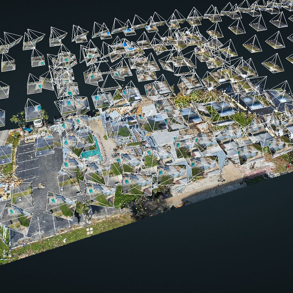
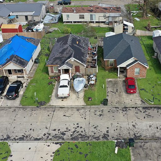
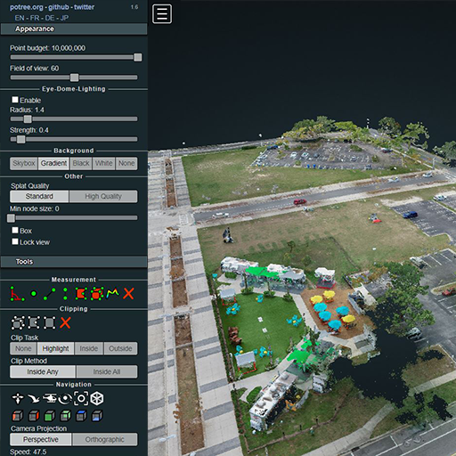
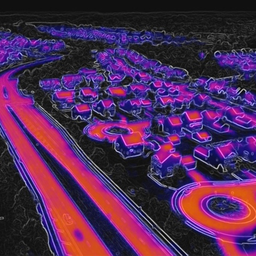
The rapid advancement of technology has paved the way for exciting innovations in various fields. One such groundbreaking combination is the use of drones and artificial intelligence (A.I.) to revolutionize